
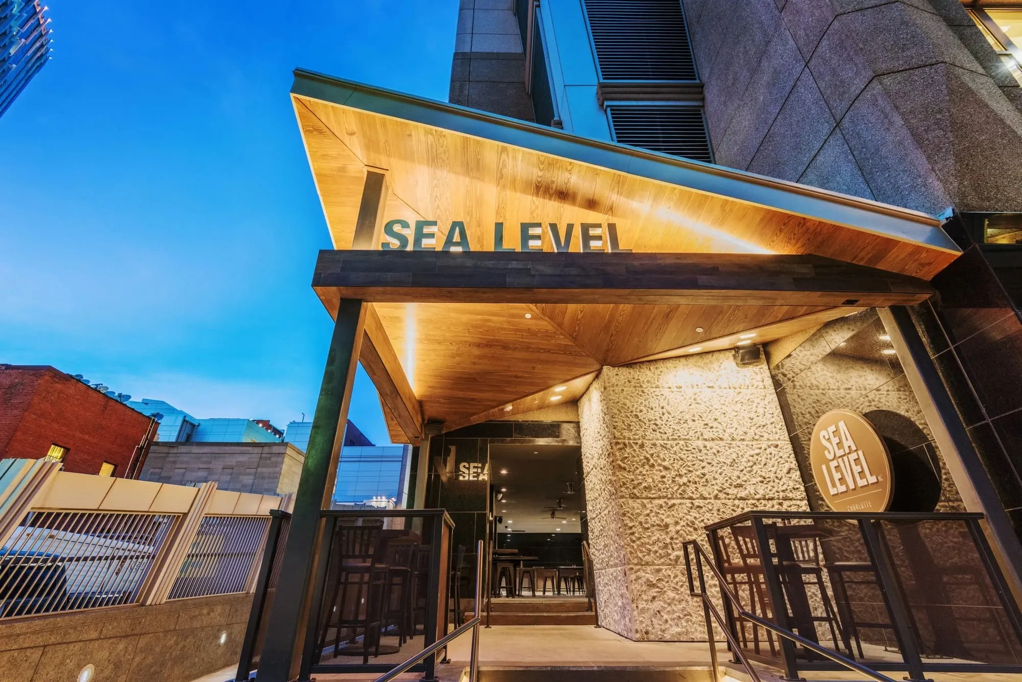
Sea Level
Discover Sea Level, North Carolina
Aptly named, on the shore of Core Sound near the top of Down East.
Sea Level lives up to its name: it is the lowest-lying land in Carteret County, a Down East community set right at the edge of Core Sound between Stacy and Atlantic. Its history reaches back to the early 1700s, when the area was known as one of the Hunting Grounds, prized for game, fish, and oysters, and the same abundance draws people to the water here today.
Life Down East
This is a quiet, water-level community where Core Sound is never far and the fishing, crabbing, and oystering traditions run deep. Workboats, marsh views, and the easy pace of Down East define daily life, part of a stretch of coast that has stayed remarkably true to its roots.
Getting around
Sea Level sits along US-70 near the northern end of the Down East mainland, between Stacy and Atlantic and close to the Cedar Island ferry to Ocracoke. Beaufort is the nearest historic town for services, with Morehead City the larger regional center.
Schools
Sea Level is served by Carteret County Schools, with the nearest high school in Beaufort.
Finding a home
Look here for waterfront and water-access homes, cottages, and land along Core Sound. Given the low-lying setting, elevation, flood, and water-access details are worth a careful look, and we are glad to help. Explore what is available below, and reach out when one fits.
What is Sea Level, NC known for?
Sea Level is a Down East community on Core Sound and the lowest-lying land in Carteret County, with a heritage of fishing, crabbing, and oystering dating to the early 1700s.
Where is Sea Level, NC?
Sea Level sits along US-70 near the northern end of the Down East mainland, between Stacy and Atlantic, close to the Cedar Island ferry.
What kinds of homes are in Sea Level?
Waterfront and water-access homes, cottages, and land along Core Sound, where elevation and flood considerations are worth confirming.

Header Socials